Iowa land office records began in 1838, when Iowa became a territory and land offices were established.
When the area that is now Iowa became part of the United States, a few prior land claims by early pioneers were settled in the courts, though most of the land was unclaimed. This unclaimed land became the public domain, was surveyed, divided into townships (36 square miles), range and section (one square mile within the township) and then granted or sold by the government through federal and state land offices. The townships were numbered north and south, starting from the centerline, and the range was numbered east and west starting from the centerline.
The first sale of a piece of land from the government was called a land patent and the first owner of the land was called a patentee. Later, when the land was sold or mortgaged by private owners, the document was called a deed. The first federal and state transactions were recorded and the paperwork kept at the federal and state level, while all future transactions were recorded at the office of the county register of deeds.
FUN FACT courtesy of familysearch.org – Iowa Land and Property: In the 1700s and early 1800s, the area that is now Iowa was under the control of France, then Spain, and again France. In 1834 the area that is now Iowa was attached to the Michigan Territory, and in 1836 it was transferred to the Wisconsin Territory. The Iowa Territory was established in 1838. It included all of present-day Iowa, Minnesota, and parts of North and South Dakota. In 1846, Iowa, with its present boundaries, became a state. If your ancestor lived in the area that is now Iowa, Illinois, Indiana, Missouri or Louisiana before 1837, familysearch.org – may be helpful in locating land claims.
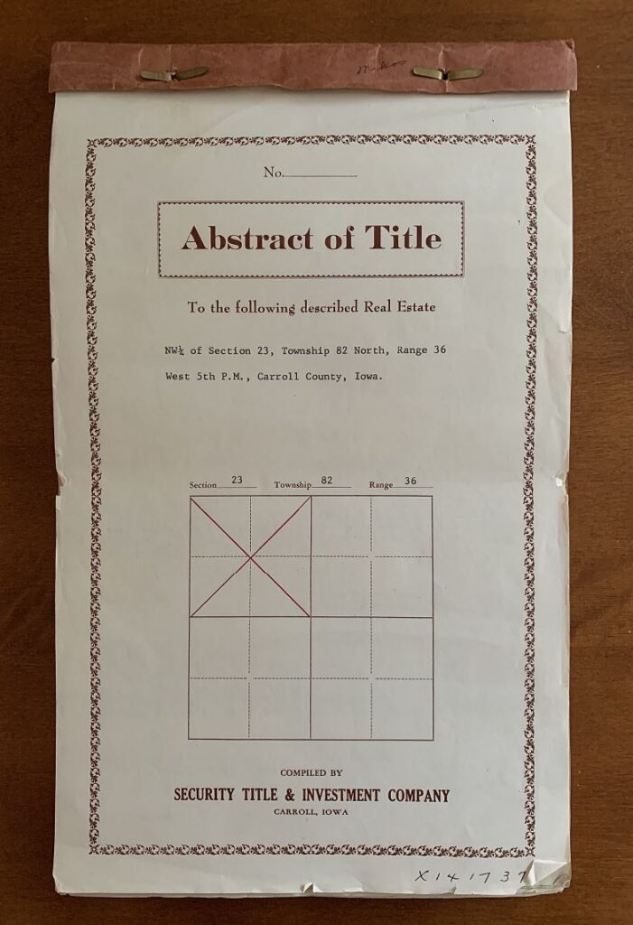
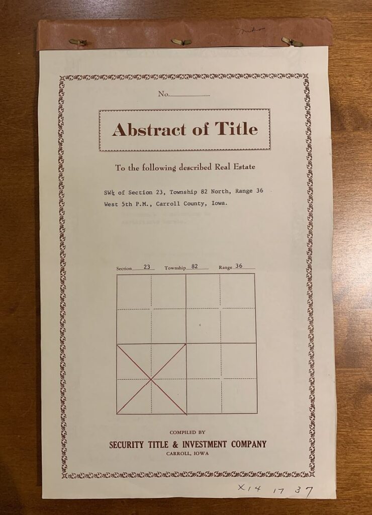
The farm, as it exists today, is a combination of the Northwest and Southwest Quarters of Section 23 in Township 82 North, Range 36

NORTH FARM
Northwest Quarter of Section 23
Township 82 North, Range 36
Carroll County, IA
- January 3, 1859 – East half conveyed by the United States via land grant #1855, signed by then-president James Buchanan
- September 1, 1860 – West half patented and conveyed by the United States via land warrant #1850, signed by then-president James Buchanan
- These 2 parcels, totaling 160 acres, more or less, were subsequently combined and sold on February 9, 1859
- Abstract of Title completed by Security Title & Investment Company dated November 23, 1966
On May 14, 1931 – an Easement for Public Highway containing 2.05 acres, more or less, exclusive of the existing highway, was granted for the expansion of Highway 141. Consideration of $410 ($200 per acre) was paid for the easement.
Hugh A. Matt purchased on August 18, 1934.

SOUTH FARM
Southwest Quarter of Section 23
Township 82 North, Range 36
Carroll County, IA
- March 18, 1859 – East half conveyed via government sale
- March 18, 1859 – NW quarter conveyed via government sale
- September 13, 1859 – SW quarter conveyed via government sale
- These parcels were bought and sold numerous times over the years and ultimately combined.
- Abstract of Title completed by Security Title & Investment Company dated November 25, 1966
Hugh A. Matt purchased on June 28, 1937.
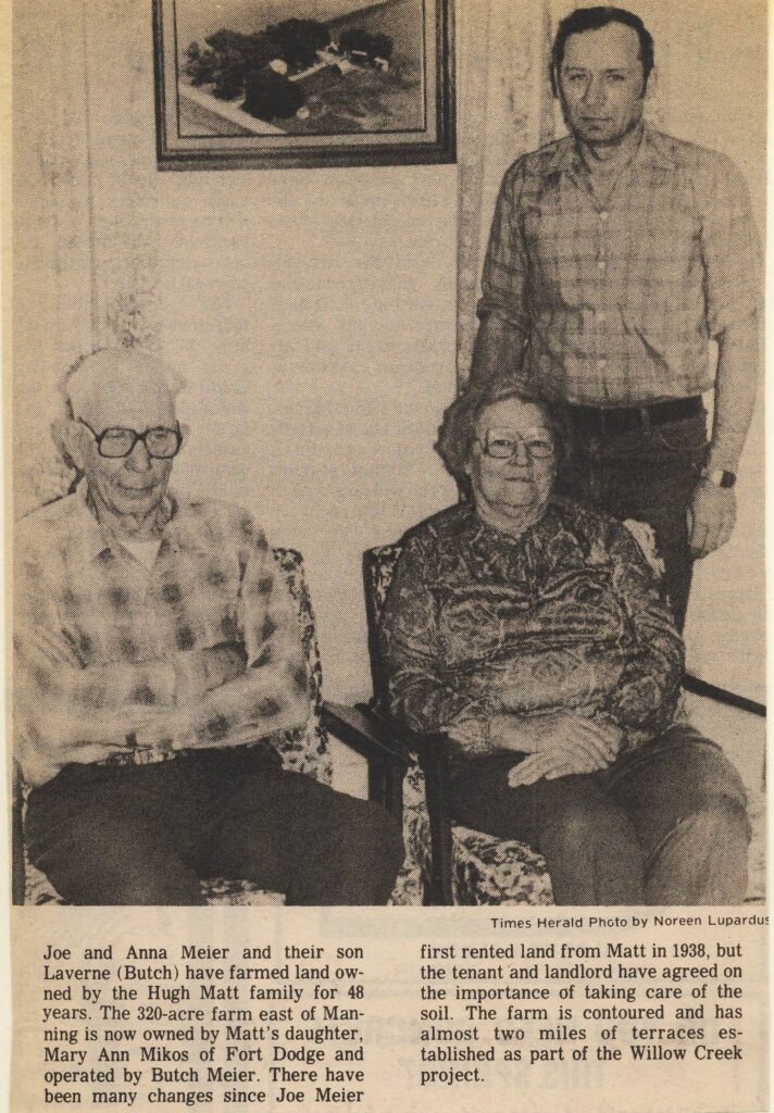
Please enjoy these vintage newspaper articles to get a glimpse of the generosity of the Hugh A. and Genevieve Matt family, which was carried on by their daughter, Mary Ann Matt Mikos.

Families trace longtime ties
By Noreen Lupardus
Times Herald and Times Herald Weekly
March 18-19, 1986
Catholic schools vital to giver
By Anne Kersten
Official newspaper of the Diocese of Sioux City, Iowa
November 12, 1987
